File:751.0 MO State Map showing counties and districts.png
Jump to navigation
Jump to search
No higher resolution available.
751.0_MO_State_Map_showing_counties_and_districts.png (744 × 500 pixels, file size: 22 KB, MIME type: image/png)
File history
Click on a date/time to view the file as it appeared at that time.
| Date/Time | Thumbnail | Dimensions | User | Comment | |
|---|---|---|---|---|---|
| current | 13:27, 7 June 2019 | | 744 × 500 (22 KB) | Smithk (talk | contribs) | |
| 08:13, 25 September 2007 | 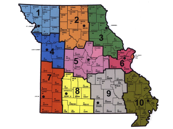 | 720 × 540 (364 KB) | Tschid (talk | contribs) |
- You cannot overwrite this file.
File usage
The following 28 files are duplicates of this file (more details):
- File:104.13 Construction VE Flow Chart.png
- File:129 Idea to Reality Graphic.png
- File:231 Warrant for Median Barriers Page 1.png
- File:606.2.4.1 Placement.png
- File:616.18 Safety Image.png
- File:620.2 Method of Locating and Determining the Limit of No-Passing Zones at Curves (MUTCD Fig. 3B-5 -a).PNG
- File:620.2 Method of Locating and Determining the Limit of No-Passing Zones at Curves (MUTCD Fig. 3B-5 -b).png
- File:822.4 Interchanges.png
- File:822.4 Median Less Than 150 Feet Wide.png
- File:822.4 Median More Than 150 Feet Wide.png
- File:822.5 Undeveloped Areas on Undivided Highways.png
- File:822.6 Ditch Cut.png
- File:822.6 Native Vegetation Preventing Snow Drifts.png
- File:822.7 Naturalized Areas.png
- File:822.7 Wildflower and Native Grass.png
- File:822 Roadside Vegetation Management.png
- File:910.4.3.1.png
- File:Benefit history.png
- File:Consultant Needs Flow Chart.png
- File:Consultant Selection.png
- File:Contracting Procedures Flowchart.png
- File:Dispute Resolution Flow Chart.png
- File:Dispute Resolution Process Flow Chart.png
- File:Dne.png
- File:MoDOT Allowable Profit Curve.png
- File:Practical1.png
- File:R12.png
- File:Trial.png
.PNG)
.png)
There are no pages that use this file.