Difference between revisions of "Category:145 Transportation Management Systems (TMS)"
Jump to navigation
Jump to search
m (updated link) |
m (updated link) |
||
| Line 9: | Line 9: | ||
|'''[http://sharepoint/systemdelivery/TP/tms/Training%20Material/TMS%20Homepage%20Training%20Material/TMS%20News.pdf TMS News] | |'''[http://sharepoint/systemdelivery/TP/tms/Training%20Material/TMS%20Homepage%20Training%20Material/TMS%20News.pdf TMS News] | ||
|- | |- | ||
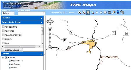
| − | |'''[http:/ | + | |'''[http://tmsmaps/ TMS Maps]''' |
|- | |- | ||
|'''[http://sharepoint/systemdelivery/TP/tms/Training%20Material/TMS%20Homepage%20Training%20Material/New%20Contact%20Us%20Page.pdf Contact Info]''' | |'''[http://sharepoint/systemdelivery/TP/tms/Training%20Material/TMS%20Homepage%20Training%20Material/New%20Contact%20Us%20Page.pdf Contact Info]''' | ||
|} | |} | ||
Revision as of 09:34, 24 November 2015

When Transportation Management Systems (TMS) was implemented in 1998, it only presented information for travelways (routes), safety, traffic and pavement. TMS is now comprised of client/server applications, web-based applications, ReportNet/ Crystal Reports and ArcGis tools and products. Over the years, the number of applications, reports and mapping products has exploded. There is also a component that allows for the addition of photos and documents related to certain inventory items.
| TMS Training Material |
| TMS News |
| TMS Maps |
| Contact Info |